|
|
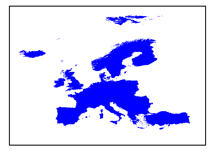
Description:
Generalized geology of Europe and Turkey compiled at a scale of 1:5,000,000. Decimal Latitude and Longitude "Geographic" coordinates Data formats:
to view FAQ metadata |
|
|
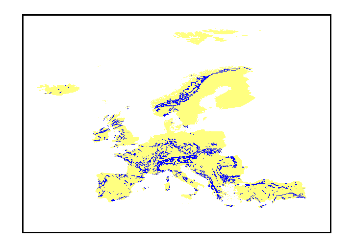
Description:
Faults of Europe and Turkey, compiled at a scale of 1:5,000,000. Decimal Latitude and Longitude "Geographic" coordinates Data formats:
to view FAQ metadata |
|
|
Description:
Geologic provinces of the world, as defined by the U.S. Geological Survey's World Energy Project. (Shown here in vicinity of Europe including Turkey.) Decimal Latitude and Longitude "Geographic" coordinates Data formats:
to view FAQ metadata |