
Supplemental Spatial Data Directory
|
|
Description:
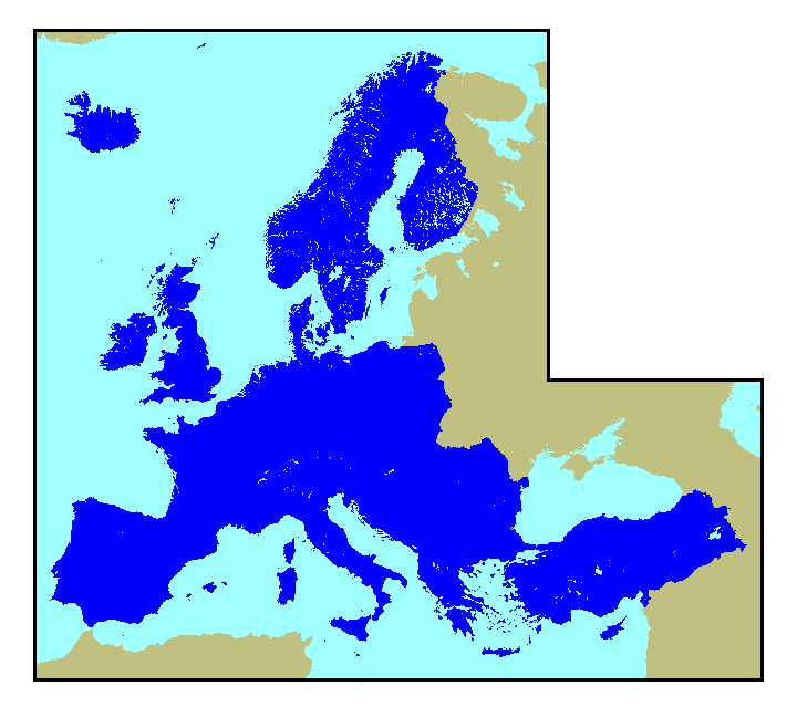
Generalized geology of Europe including Turkey compiled at a scale of 1:5,000,000. Lambert conformal conic projection
Data format:
to view FAQ metadata |
|
geo_sval
|
Description:
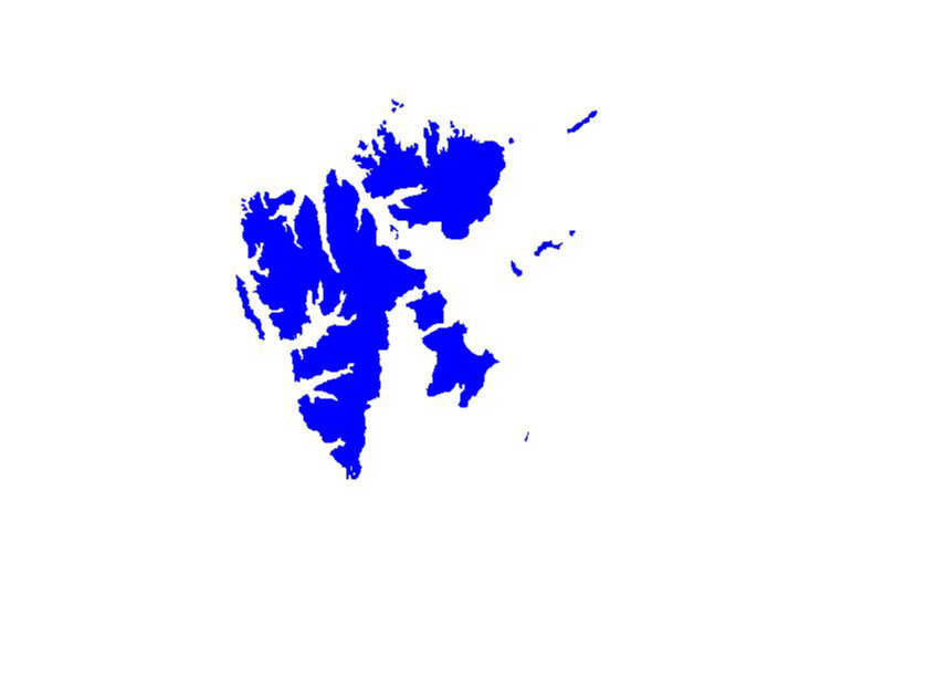
Generalized geology of Svalbard compiled at a scale of 1:5,000,000 Lambert conformal conic projection
Data formats:
to view FAQ metadata |
|
|
Description:
Faults of Europe including Turkey compiled at a scale of 1:5,000,000 Lambert conformal conic projection
Data format:
to view FAQ metadata |
|
|
Description:
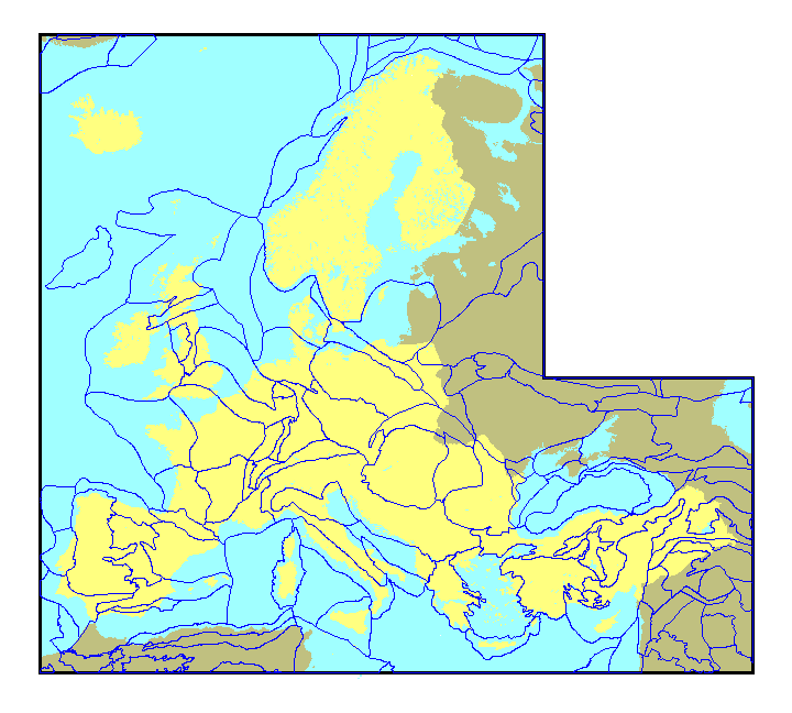
Geologic provinces of Europe including Turkey, as defined by the U.S. Geological Survey World Energy Program Lambert conformal conic projection
Data format:
to view FAQ metadata |
|
|
Description:
Bathymetric depth contours of waters adjacent to Europe including Turkey Lambert conformal conic projection
Data format:
to view FAQ metadata |
|
|
Description:
Oil and gas field centerpoints of Europe including Turkey. Contains intellectual property of Petroconsultants Inc. Click here to view conditions of distribution and use. Lambert conformal conic projection
Data format:
to view FAQ metadata |
|
|
Description:
Selected cities, capitals and major cities, of Europe including Turkey Lambert conformal conic projection
Data formats:
to view FAQ metadata |
|
|
Description:
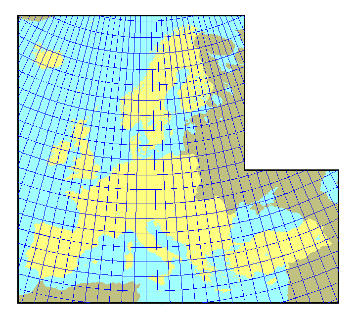
Calculated parallels and meridians of latitude and longitude, 2º by 2º. Lambert conformal conic projection
Data formats:
to view FAQ metadata |
|
|
Description:
Political boundaries (lines), for locational reference only, have no political significance. Contains intellectual property of Environmental Systems Research Institute, Inc. (ESRI) Lambert conformal conic projection
Data formats:
to view FAQ metadata |
|
|
Description:
Political boundaries (polygon), for locational reference only, have no political significance. Contains intellectual property of Environmental Systems Research Institute, Inc. (ESRI) Lambert conformal conic projection
Data formats:
to view FAQ metadata |


